Vancouver’s Expo Lands, Burnaby’s Skyline, and Mount Baker Beyond
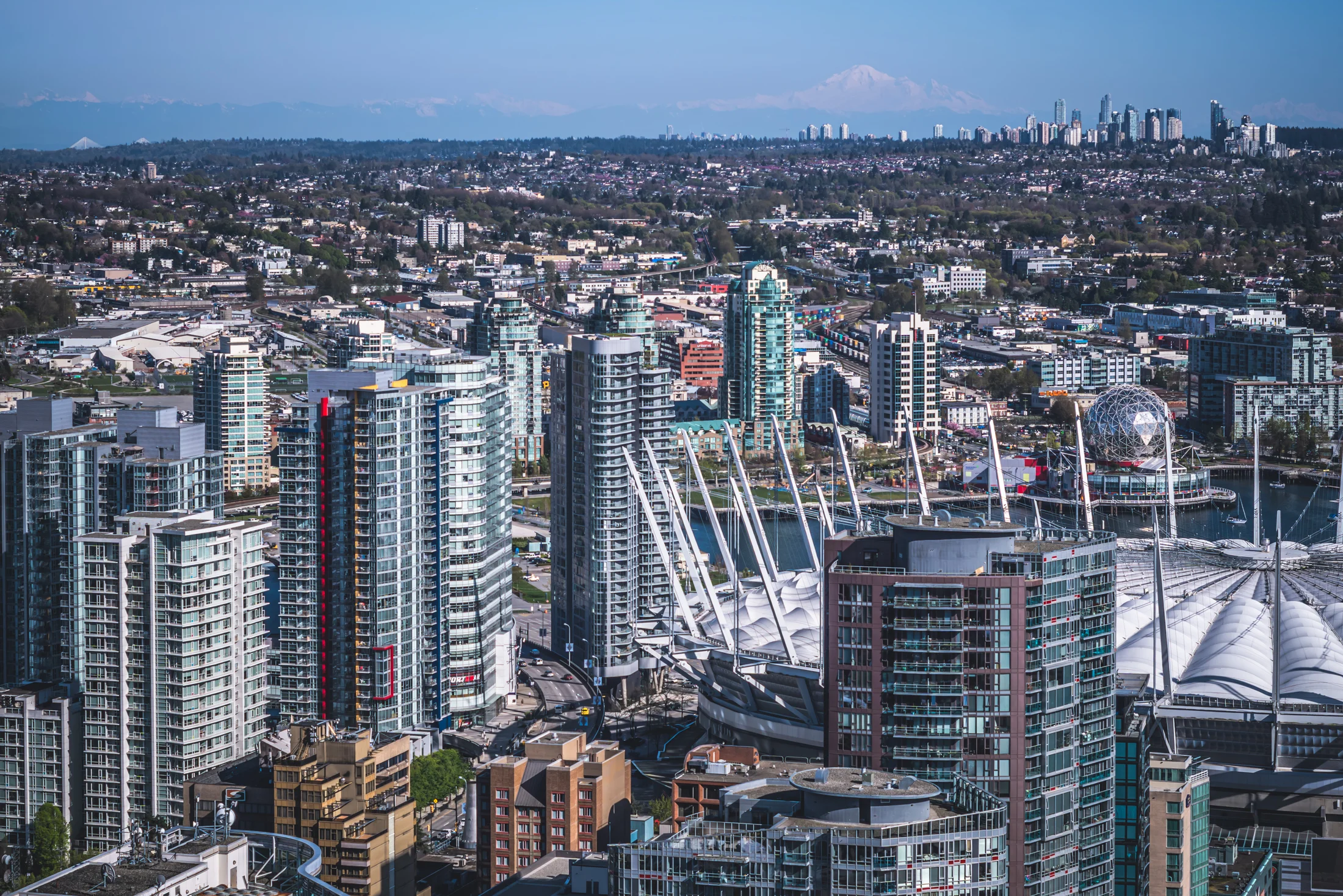
This view compresses a big chunk of Metro Vancouver into a single line of sight: the stadium district at False Creek in the foreground, Burnaby’s rising skyline in the middle distance, and the Cascade Range anchoring the horizon. BC Place opened in 1983 and was later rebuilt with a retractable roof, a reminder of how “new” much of this waterfront city still is when you look at it on a timeline. Nearby, the geodesic dome of Science World began life as the Expo Centre for Expo 86, one of the events that permanently reshaped the edges of False Creek and helped push Vancouver toward the high-density, amenity-rich urban identity it is known for today.
Looking east, the urban narrative shifts from Vancouver’s downtown peninsula to Burnaby’s second core at Metrotown, a regional centre that has been planned and redeveloped for decades into one of the Metro’s most concentrated clusters of towers outside downtown Vancouver. The direction of travel keeps going: out toward the Highway 1 corridor and the Fraser River crossing at the Port Mann Bridge, whose current span opened in 2012 as a replacement project intended to relieve one of the region’s tightest transportation bottlenecks. And then the scale flips again. On very clear days, Mount Baker appears in the distance, a glaciated Cascade volcano in Washington State that stands 10,781 feet (3,286 m) high, turning an everyday city view into a reminder that Vancouver’s skyline is always set against a larger landscape.